DNR survey data · statewide
3 Overlooked Bluegill Lakes in Minnesota
Bluegill water that fishes above its reputation, picked from 2,669 surveyed Minnesota lakes by DNR catch rate, fish size and trophy record.
By David Berget · Published 2026-08-17
DNR surveys have recorded bluegill in 2,669 Minnesota lakes. Here are 3 of them.
Each card says what its lake is good for, because the lakes with the most bluegill and the lakes with the biggest bluegill are usually different lakes.
Big fish. About 1 in 120 bluegill measured here went 10 inches or better, unusually high for water like this.
- 1,399 acres
- 10 ft deep
- biggest 9 in
- surveyed 2022
Lots of fish. Trap nets averaged 77.1 bluegill per net, above the DNR's high mark of 75.
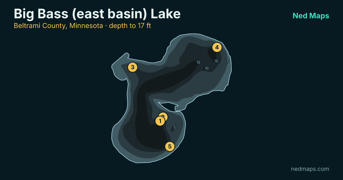
- 337 acres
- 17 ft deep
- biggest 8 in
- surveyed 2024
Lots of fish. Trap nets averaged 76 bluegill per net, above the DNR's high mark of 75.
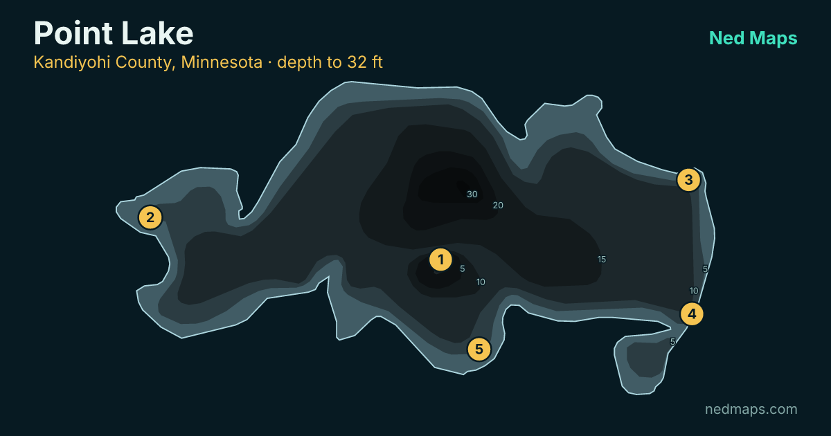
- 174 acres
- 32 ft deep
- biggest 10 in
- surveyed 2025
How these bluegill lakes were picked
Bluegill fill trap nets, which is the whole difficulty: a lake can run well past the DNR's moderate mark of 51 bluegill per net and still produce nothing but four-inch fish, because crowded bluegill populations stunt and the fish stay small. Every lake below cleared the catch-rate bar, but on a bluegill lake the number worth reading is the share reaching 8 inches. Both come from the net counts, not from what anyone said they caught.
Of the 2,669 lakes with bluegill on record, 1,427 clear the habitat gate: under 60 feet deep, with at least 50% of the water in the shallow zone where the food is. Anything already ranked among the state's best-known bluegill water is set aside, since those lakes are already well covered. These 3 are what is left after keeping only the lakes surveyed since 2016 that cleared the mark above, one entry per water body, each with a public boat launch. Full methodology: how the grades work.