DNR survey data · statewide
6 Overlooked Largemouth Bass Lakes in Minnesota
Largemouth bass water that fishes above its reputation, picked from 2,339 surveyed Minnesota lakes by DNR catch rate, fish size and trophy record.
By David Berget · Published 2026-08-17
DNR surveys have recorded largemouth bass in 2,339 Minnesota lakes. Here are 6 of them.
Each card says what its lake is good for, because the lakes with the most largemouth bass and the lakes with the biggest largemouth bass are usually different lakes.
Big fish. 29% of the largemouth bass measured here were 15 inches or better.
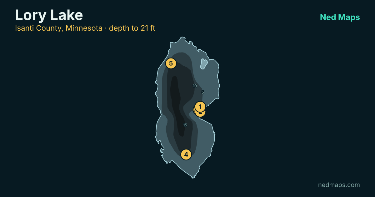
- 222 acres
- 21 ft deep
- biggest 20 in
- surveyed 2021
Numbers and size. Electrofishing turned up 126.6 largemouth bass per hour, and about 1 in 135 of them went 20 inches or better, unusually high for water like this.
- 103 acres
- 22 ft deep
- biggest 20 in
- surveyed 2022
Big fish. About 1 in 92 largemouth bass measured here went 20 inches or better, unusually high for water like this.
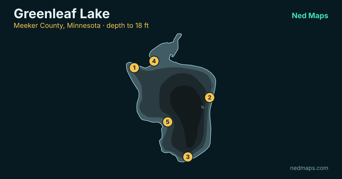
- 238 acres
- 18 ft deep
- biggest 20 in
- surveyed 2022
Big fish. 39% of the largemouth bass measured here were 15 inches or better.
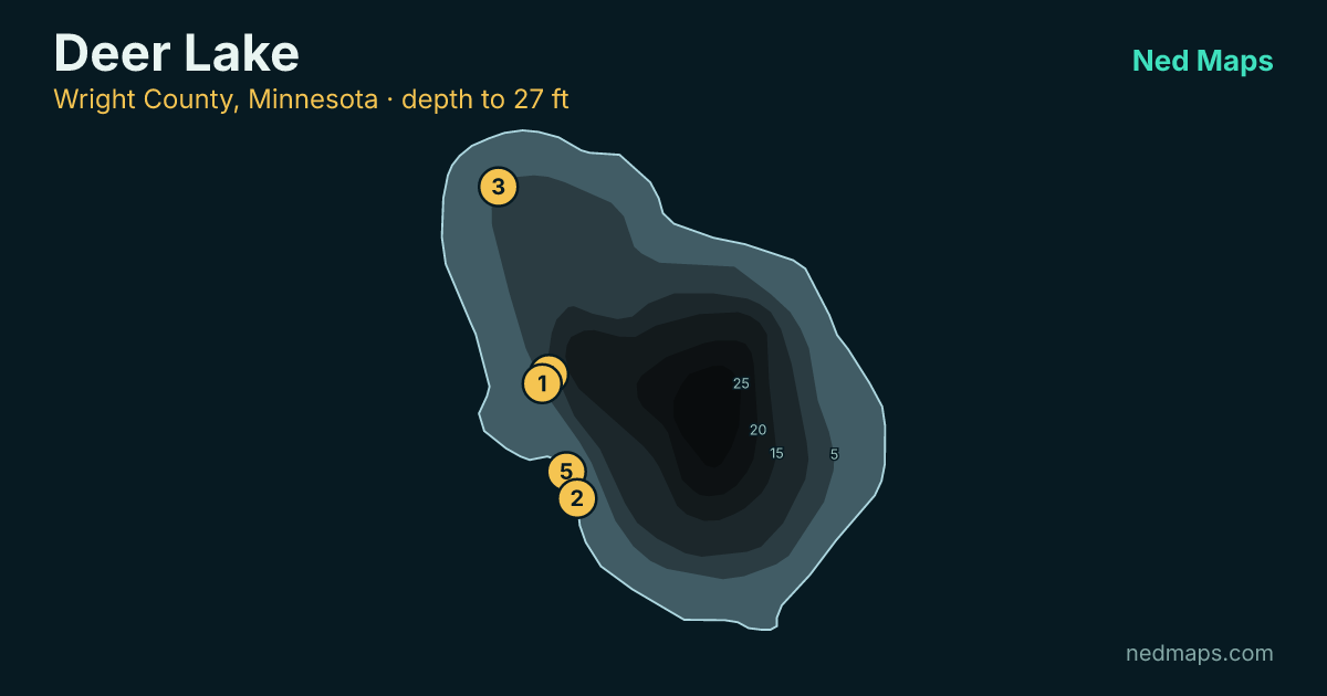
- 171 acres
- 27 ft deep
- biggest 20 in
- surveyed 2023
Big fish. 47% of the largemouth bass measured here were 15 inches or better.
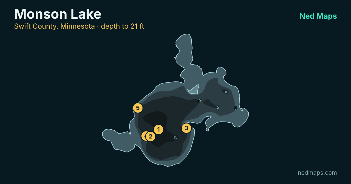
- 208 acres
- 21 ft deep
- biggest 19 in
- surveyed 2024
Numbers and size. Electrofishing turned up 103.1 largemouth bass per hour, and about 1 in 119 of them went 20 inches or better, unusually high for water like this.
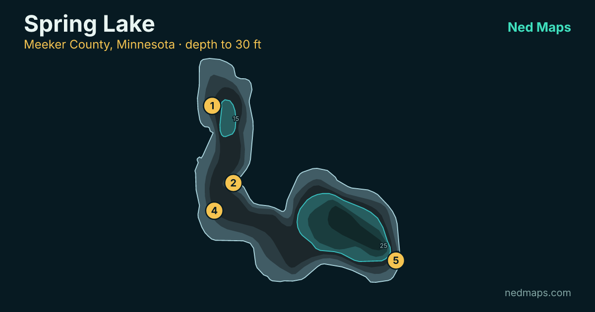
- 201 acres
- 30 ft deep
- biggest 20 in
- surveyed 2018
- stocked 2023
How these largemouth bass lakes were picked
Largemouth are counted by electrofishing: a shoreline run that stuns fish long enough to net and measure them, and the only gear the DNR publishes a largemouth band for. Its moderate mark is 50 largemouth bass per hour, cleared by every lake below. The quality length is 15 inches. These are survey numbers, not reports from the water.
Of the 2,339 lakes with largemouth bass on record, 1,204 clear the habitat gate: under 60 feet deep, with at least 50% of the water in the shallow zone where the food is. Anything already ranked among the state's best-known largemouth bass water is set aside, since those lakes are already well covered. These 6 are what is left after keeping only the lakes surveyed since 2016 that cleared the mark above, one entry per water body, each with a public boat launch. Full methodology: how the grades work.